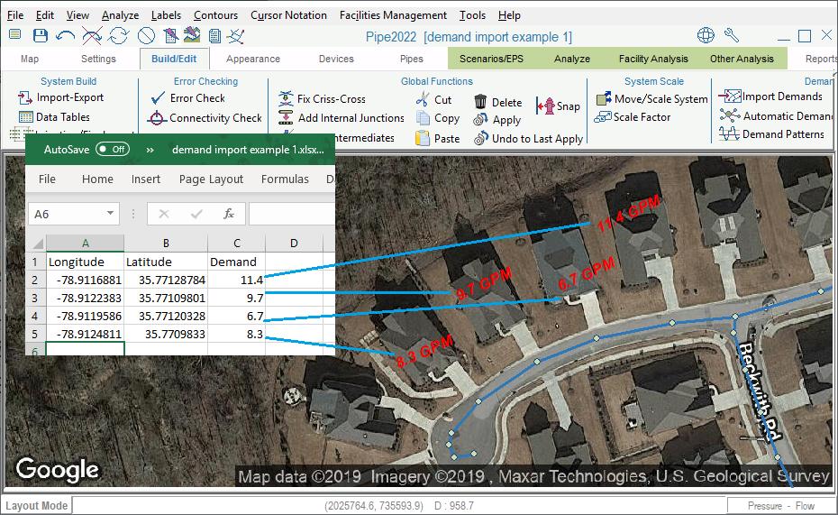
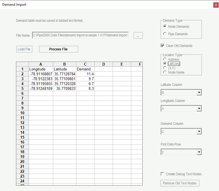
Allows automated import of demands from an Excel Spreadsheet to pipes or nodes within the model: this feature imports demands to model locations that can be defined using latitude-longitude coordinates, X/Y map distance units, physical addresses (Premium package only) or node names. The imported demands can either be added to existing model demands, or can replace all existing demands.

1. The Demand Import Feature
In order to use latitude-longitude coordinates or X/Y pairs to place demands, the spreadsheet format should include two columns with the location data, followed by a column with demand data; demands are expressed in global model flow units (see the System Data Menu). To use latitude-longitude coordinates, Internet Maps must be turned on.
Adding demands to pipes will place residential meters within existing pipes. When adding demands to pipes, the Average Residential Meter Demand is defined first.
When importing demands by address (Premium package only), users can optionally add columns to the spreadsheet with latitude-longitude coordinates as a data check to verify that the addresses were interpreted correctly. Optionally users can also add text nodes to each address within the map area in order to verify that the addresses were placed within the model extent: use the “Zoom All” map navigation button following import: this will display any text nodes located beyond the extent of the model.

2. Excel File for Demand Import Using Latitude-Longitude Coordinates


